View from the eastern slope of Hambledon Hill
Introduction
The photograph on this page of View from the eastern slope of Hambledon Hill by Mike Searle as part of the Geograph project.
The Geograph project started in 2005 with the aim of publishing, organising and preserving representative images for every square kilometre of Great Britain, Ireland and the Isle of Man.

There are currently over 7.5m images from over 14,400 individuals and you can help contribute to the project by visiting https://www.geograph.org.uk
View from the eastern slope of Hambledon Hill
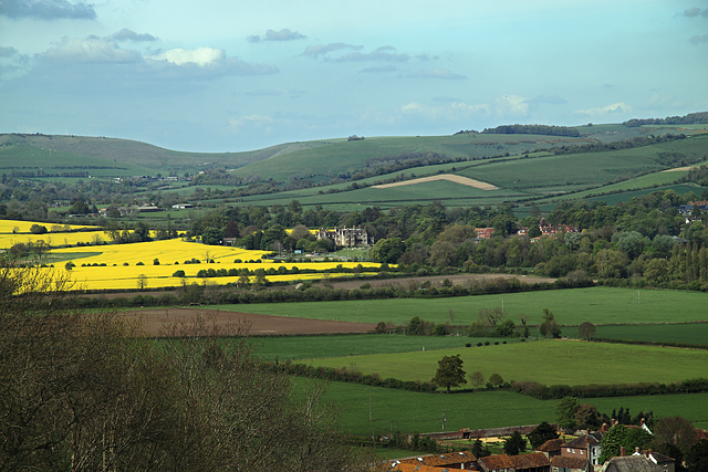
Image: © Mike Searle Taken: 29 Apr 2009
On the descent from Hambledon Hill on its east side, looking towards Iwerne Minster. A section of part of the north side of the village of Iwerne Courtney is visible at bottom right, and in the middle distance, Clayesmore School.
Images are licensed for reuse under creativecommons.org/licenses/by-sa/2.0
Image Location
Latitude
50.930865
Longitude
-2.196318