Jubilee Way Long Distance Footpath
Introduction
The photograph on this page of Jubilee Way Long Distance Footpath by Kate Jewell as part of the Geograph project.
The Geograph project started in 2005 with the aim of publishing, organising and preserving representative images for every square kilometre of Great Britain, Ireland and the Isle of Man.

There are currently over 7.5m images from over 14,400 individuals and you can help contribute to the project by visiting https://www.geograph.org.uk
Jubilee Way Long Distance Footpath
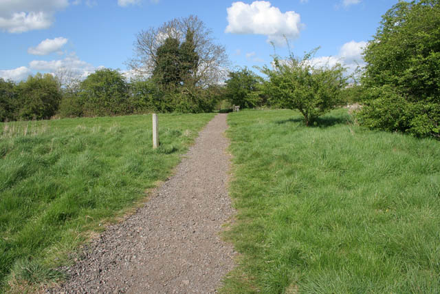
Image: © Kate Jewell Taken: 25 Apr 2009
The Jubilee Way is a 20 mile path from Burrough Hill Country Park starting in Image to Woolsthorpe in the Vale of Belvoir, where it meets the Viking Way at Image, which goes through the Melton Country Park.
Images are licensed for reuse under creativecommons.org/licenses/by-sa/2.0
Image Location
Latitude
52.776125
Longitude
-0.875551