Lower Bayble
Introduction
The photograph on this page of Lower Bayble by Stephen Branley as part of the Geograph project.
The Geograph project started in 2005 with the aim of publishing, organising and preserving representative images for every square kilometre of Great Britain, Ireland and the Isle of Man.

There are currently over 7.5m images from over 14,400 individuals and you can help contribute to the project by visiting https://www.geograph.org.uk
Lower Bayble
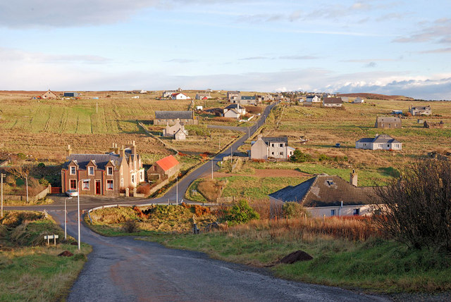
Image: © Stephen Branley Taken: 3 Dec 2008
Looking down the very steep hill (not good in winter!) to the junction and the road that leads to Upper Bayble (Gaelic - Pabail Uarach) in the distance.
Images are licensed for reuse under creativecommons.org/licenses/by-sa/2.0
Image Location
Latitude
58.203974
Longitude
-6.214856