Upper Bayble
Introduction
The photograph on this page of Upper Bayble by Stephen Branley as part of the Geograph project.
The Geograph project started in 2005 with the aim of publishing, organising and preserving representative images for every square kilometre of Great Britain, Ireland and the Isle of Man.

There are currently over 7.5m images from over 14,400 individuals and you can help contribute to the project by visiting https://www.geograph.org.uk
Upper Bayble
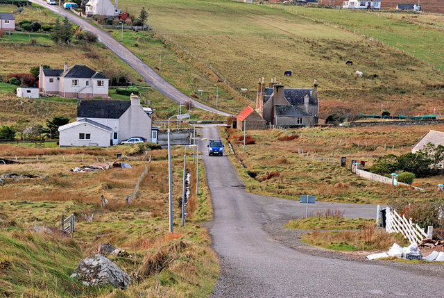
Image: © Stephen Branley Taken: 3 Dec 2008
A view from Upper Bayble to the junction at the bottom of the hill. The road to the pier is out of shot to the left behind the first white house.
Images are licensed for reuse under creativecommons.org/licenses/by-sa/2.0
Image Location
Latitude
58.203829
Longitude
-6.21489