
Rural crossroads
Introduction
The photograph on this page of Rural crossroads by Evelyn Simak as part of the Geograph project.
The Geograph project started in 2005 with the aim of publishing, organising and preserving representative images for every square kilometre of Great Britain, Ireland and the Isle of Man.

There are currently over 7.5m images from over 14,400 individuals and you can help contribute to the project by visiting https://www.geograph.org.uk
Rural crossroads
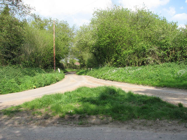
Image: © Evelyn Simak Taken: 29 Apr 2009
None of these country lanes has a name - the road seen straight ahead links with Hall Street further to the east. The bridge seen in mid-distance takes the road over the River Bure which here is nothing more than a small stream > http://www.geograph.org.uk/photo/1278078. The stream here crosses the lane via a culvert which runs underneath it, only to cross underneath another lane at the same junction about 20 metres further to the west > http://www.geograph.org.uk/photo/1278144. The River Bure rises near Melton Constable, 18 kilometres miles upstream of Aylsham, which was the original head of navigation. It flows into the North Sea by Breydon Water near Gorleston, further to the southeast.
Images are licensed for reuse under creativecommons.org/licenses/by-sa/2.0
Image Location

Latitude
52.848375
Longitude
1.059506