Path for the Course
Introduction
The photograph on this page of Path for the Course by Glyn Baker as part of the Geograph project.
The Geograph project started in 2005 with the aim of publishing, organising and preserving representative images for every square kilometre of Great Britain, Ireland and the Isle of Man.

There are currently over 7.5m images from over 14,400 individuals and you can help contribute to the project by visiting https://www.geograph.org.uk
Path for the Course
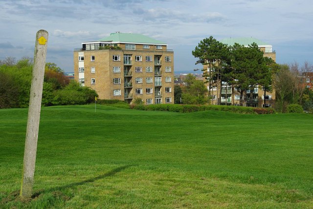
Image: © Glyn Baker Taken: 16 Apr 2009
You don’t have to spoil a good walk with golf in Eastbourne as there are two well waymarked footpaths across the course!
Images are licensed for reuse under creativecommons.org/licenses/by-sa/2.0
Image Location
Latitude
50.767416
Longitude
0.269253