Drainage ditch
Introduction
The photograph on this page of Drainage ditch by Dennis Turner as part of the Geograph project.
The Geograph project started in 2005 with the aim of publishing, organising and preserving representative images for every square kilometre of Great Britain, Ireland and the Isle of Man.

There are currently over 7.5m images from over 14,400 individuals and you can help contribute to the project by visiting https://www.geograph.org.uk
Drainage ditch
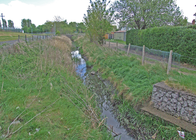
Image: © Dennis Turner Taken: 29 Apr 2009
Drainage of the low lying land, most of which has been reclaimed from the river, is very important in the area.
Images are licensed for reuse under creativecommons.org/licenses/by-sa/2.0
Image Location
Latitude
53.21645
Longitude
-3.012311