River Eye, near Melton Mowbray
Introduction
The photograph on this page of River Eye, near Melton Mowbray by Stephen McKay as part of the Geograph project.
The Geograph project started in 2005 with the aim of publishing, organising and preserving representative images for every square kilometre of Great Britain, Ireland and the Isle of Man.

There are currently over 7.5m images from over 14,400 individuals and you can help contribute to the project by visiting https://www.geograph.org.uk
River Eye, near Melton Mowbray
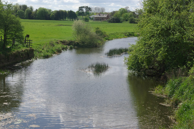
Image: © Stephen McKay Taken: 25 Apr 2009
Looking downstream from the site of the former bridge that carried the Leicester - Newark railway. Water flowing here will eventually reach Nottingham by way of three rivers: the Wreake, Soar and Trent.
Images are licensed for reuse under creativecommons.org/licenses/by-sa/2.0
Image Location


Leaflet Map data © OpenStreetMap
Latitude
52.764763
Longitude
-0.900595