The Annaghabane Road near Loughbrickland (3)
Introduction
The photograph on this page of The Annaghabane Road near Loughbrickland (3) by Albert Bridge as part of the Geograph project.
The Geograph project started in 2005 with the aim of publishing, organising and preserving representative images for every square kilometre of Great Britain, Ireland and the Isle of Man.

There are currently over 7.5m images from over 14,400 individuals and you can help contribute to the project by visiting https://www.geograph.org.uk
The Annaghabane Road near Loughbrickland (3)
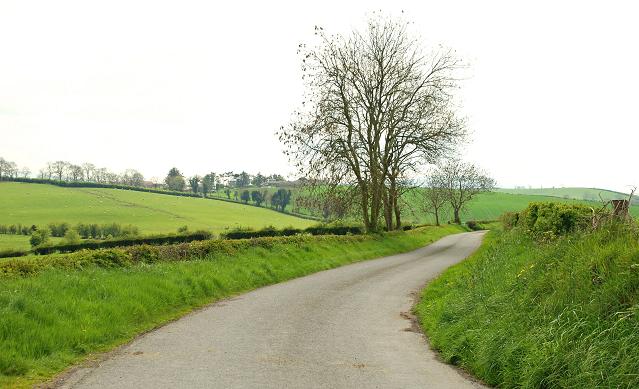
Image: © Albert Bridge Taken: 28 Apr 2009
See Image The road, in this square, as it makes its twisting way through a level stretch, in what is mainly undulating drumlin country.
Images are licensed for reuse under creativecommons.org/licenses/by-sa/2.0
Image Location
Latitude
54.274652
Longitude
-6.277908