Moat Mount tree markers
Introduction
The photograph on this page of Moat Mount tree markers by Robert Timms as part of the Geograph project.
The Geograph project started in 2005 with the aim of publishing, organising and preserving representative images for every square kilometre of Great Britain, Ireland and the Isle of Man.

There are currently over 7.5m images from over 14,400 individuals and you can help contribute to the project by visiting https://www.geograph.org.uk
Moat Mount tree markers
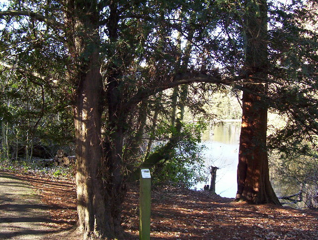
Image: © Robert Timms Taken: 25 Feb 2006
This view around the back of the lake, shows one of dozens of tree identification markers placed all around the country park. The park has a vast number of tree species.
Images are licensed for reuse under creativecommons.org/licenses/by-sa/2.0
Image Location


Leaflet Map data © OpenStreetMap
Latitude
51.631744
Longitude
-0.248811