How it was and how it is, The Ynys - Taff's Well
Introduction
The photograph on this page of How it was and how it is, The Ynys - Taff's Well by Mick Lobb as part of the Geograph project.
The Geograph project started in 2005 with the aim of publishing, organising and preserving representative images for every square kilometre of Great Britain, Ireland and the Isle of Man.

There are currently over 7.5m images from over 14,400 individuals and you can help contribute to the project by visiting https://www.geograph.org.uk
How it was and how it is, The Ynys - Taff's Well
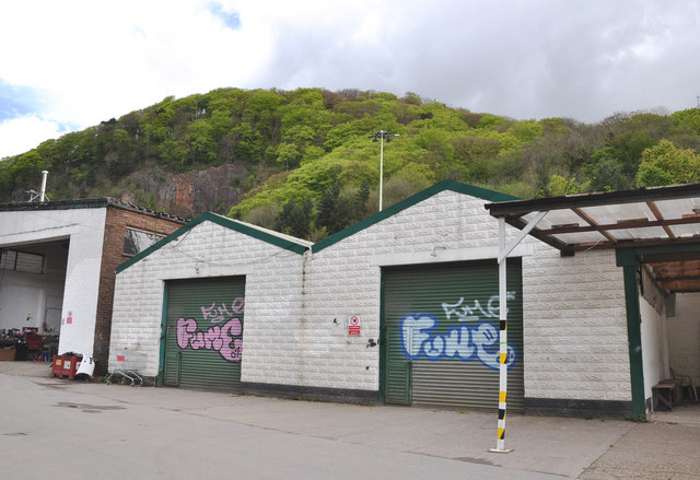
Image: © Mick Lobb Taken: 28 Apr 2009
The beautiful woodland of Fforest Fawr, where Castell Coch is located, stand above the dilapidation of the buildings of a light industrial site.
Images are licensed for reuse under creativecommons.org/licenses/by-sa/2.0
Image Location
Latitude
51.534475
Longitude
-3.257716