The River Taff , north of the old Ynys Bridge
Introduction
The photograph on this page of The River Taff , north of the old Ynys Bridge by Mick Lobb as part of the Geograph project.
The Geograph project started in 2005 with the aim of publishing, organising and preserving representative images for every square kilometre of Great Britain, Ireland and the Isle of Man.

There are currently over 7.5m images from over 14,400 individuals and you can help contribute to the project by visiting https://www.geograph.org.uk
The River Taff , north of the old Ynys Bridge
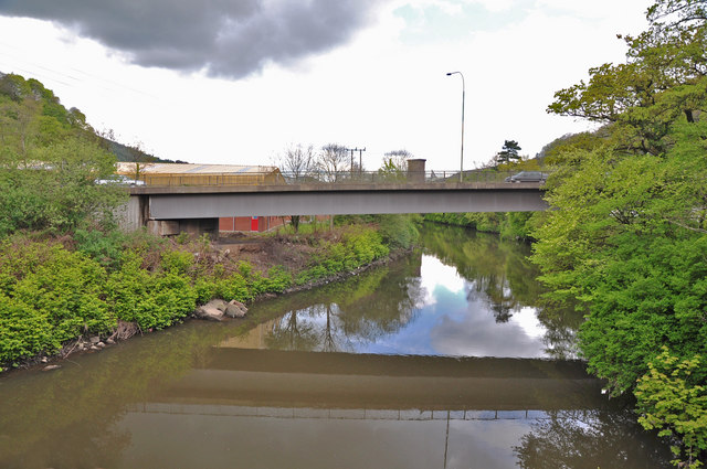
Image: © Mick Lobb Taken: 28 Apr 2009
This view, from the old Ynys Bridge, is dominated by the new bridge that links the A470 that follows the heavily industrialised Taff Vale as far ar Merthyr Tydfil then on to Brecon and the Beacons, to the B4262, Morganstown and the Taff's Well Quarry.
Images are licensed for reuse under creativecommons.org/licenses/by-sa/2.0
Image Location
Latitude
51.535525
Longitude
-3.260341