The River Taff , south of the old Ynys Bridge
Introduction
The photograph on this page of The River Taff , south of the old Ynys Bridge by Mick Lobb as part of the Geograph project.
The Geograph project started in 2005 with the aim of publishing, organising and preserving representative images for every square kilometre of Great Britain, Ireland and the Isle of Man.

There are currently over 7.5m images from over 14,400 individuals and you can help contribute to the project by visiting https://www.geograph.org.uk
The River Taff , south of the old Ynys Bridge
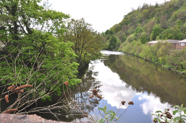
Image: © Mick Lobb Taken: 28 Apr 2009
The Ynys, an area around which the river flows, is to the left and the B4262 to Morganstown and Radyr, to the right. Several commercial enterprises have been established along the B4262 with more industrialised units to the north of the two bridges here.
Images are licensed for reuse under creativecommons.org/licenses/by-sa/2.0
Image Location
Latitude
51.534355
Longitude
-3.260453