Colsterdale view
Introduction
The photograph on this page of Colsterdale view by Gordon Hatton as part of the Geograph project.
The Geograph project started in 2005 with the aim of publishing, organising and preserving representative images for every square kilometre of Great Britain, Ireland and the Isle of Man.

There are currently over 7.5m images from over 14,400 individuals and you can help contribute to the project by visiting https://www.geograph.org.uk
Colsterdale view
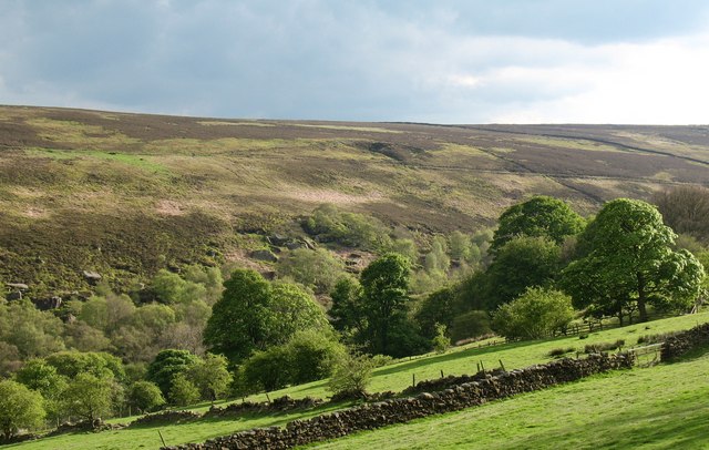
Image: © Gordon Hatton Taken: 26 Apr 2009
The upper reaches of Colsterdale from the north side, which is enclosed and cultivated. The south side is heather moorland and grouse shooting country. Some very large gritstone boulders visible near the valley bottom.
Images are licensed for reuse under creativecommons.org/licenses/by-sa/2.0
Image Location


Leaflet Map data © OpenStreetMap
Latitude
54.22599
Longitude
-1.799646