The Ringing Stone and Johnston
Introduction
The photograph on this page of The Ringing Stone and Johnston by Anne Burgess as part of the Geograph project.
The Geograph project started in 2005 with the aim of publishing, organising and preserving representative images for every square kilometre of Great Britain, Ireland and the Isle of Man.

There are currently over 7.5m images from over 14,400 individuals and you can help contribute to the project by visiting https://www.geograph.org.uk
The Ringing Stone and Johnston
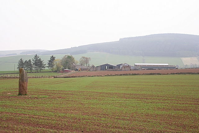
Image: © Anne Burgess Taken: 25 Apr 2009
Showing the location of the Ringing stone in relation to Johnston Farm, and the unmapped track which leads from the farm alongside the field in which the stone stands. For details about the stone see http://canmore.rcahms.gov.uk/en/site/17644/details/johnston+the+ringing+stone/
Images are licensed for reuse under creativecommons.org/licenses/by-sa/2.0
Image Location
Latitude
57.314962
Longitude
-2.700574