Wolverhampton, Combermere Arms
Introduction
The photograph on this page of Wolverhampton, Combermere Arms by Mike Faherty as part of the Geograph project.
The Geograph project started in 2005 with the aim of publishing, organising and preserving representative images for every square kilometre of Great Britain, Ireland and the Isle of Man.

There are currently over 7.5m images from over 14,400 individuals and you can help contribute to the project by visiting https://www.geograph.org.uk
Wolverhampton, Combermere Arms
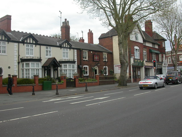
Image: © Mike Faherty Taken: 26 Apr 2009
Pub at the West end of Chapel Ash (A41); internally, central corridor with counter, to left, bar, to right, two further rooms, courtyard. Outdoor gents' loo, built around lime tree. Cask ales on offer at my visit: Banks's Bitter, Original; Butcombe Brunel; Wychwood Hobgoblin; Deuchar's IPA. Good Beer Guide 2009-listed.
Images are licensed for reuse under creativecommons.org/licenses/by-sa/2.0
Image Location
Latitude
52.585663
Longitude
-2.140319