Belvoir Park flats, Belfast
Introduction
The photograph on this page of Belvoir Park flats, Belfast by Albert Bridge as part of the Geograph project.
The Geograph project started in 2005 with the aim of publishing, organising and preserving representative images for every square kilometre of Great Britain, Ireland and the Isle of Man.

There are currently over 7.5m images from over 14,400 individuals and you can help contribute to the project by visiting https://www.geograph.org.uk
Belvoir Park flats, Belfast
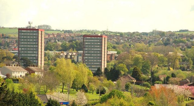
Image: © Albert Bridge Taken: 27 Apr 2009
The two high-rise blocks of the Belvoir Park estate seen from Terrace Hill above the Minnowburn Beeches. Continue to Image
Images are licensed for reuse under creativecommons.org/licenses/by-sa/2.0
Image Location
Latitude
54.54915
Longitude
-5.929423