Park Avenue
Introduction
The photograph on this page of Park Avenue by Ian Capper as part of the Geograph project.
The Geograph project started in 2005 with the aim of publishing, organising and preserving representative images for every square kilometre of Great Britain, Ireland and the Isle of Man.

There are currently over 7.5m images from over 14,400 individuals and you can help contribute to the project by visiting https://www.geograph.org.uk
Park Avenue
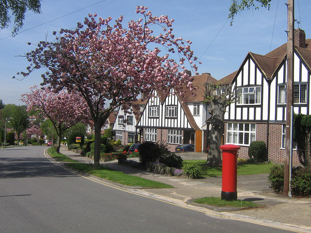
Image: © Ian Capper Taken: 22 Apr 2009
Park Avenue was developed in various stages either side of the Second World War, which perhaps explains the variety of housing designs in the road. This particular design of house is used both here in Park Avenue and in nearby Sevenoaks Road, Charterhouse Road (see Image) and Repton Road (see Image).
Images are licensed for reuse under creativecommons.org/licenses/by-sa/2.0
Image Location
Latitude
51.370059
Longitude
0.100021