Farmland near Wanlip, Leicestershire
Introduction
The photograph on this page of Farmland near Wanlip, Leicestershire by Kate Jewell as part of the Geograph project.
The Geograph project started in 2005 with the aim of publishing, organising and preserving representative images for every square kilometre of Great Britain, Ireland and the Isle of Man.

There are currently over 7.5m images from over 14,400 individuals and you can help contribute to the project by visiting https://www.geograph.org.uk
Farmland near Wanlip, Leicestershire
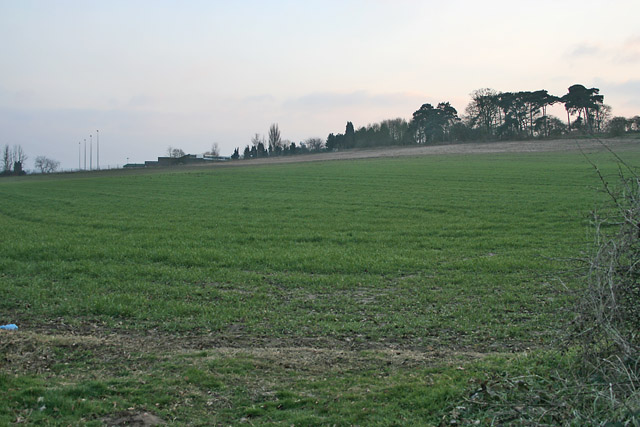
Image: © Kate Jewell Taken: 24 Feb 2006
The land to the south of the Image rises steeply towards a narrow band of trees on the summit. The buildings just over the brow of the hill are Longslade Community College, the major secondary education provider for the Birstal area.
Images are licensed for reuse under creativecommons.org/licenses/by-sa/2.0
Image Location


Leaflet Map data © OpenStreetMap
Latitude
52.688019
Longitude
-1.119707