Stamford House, Leamington Spa
Introduction
The photograph on this page of Stamford House, Leamington Spa by David Stowell as part of the Geograph project.
The Geograph project started in 2005 with the aim of publishing, organising and preserving representative images for every square kilometre of Great Britain, Ireland and the Isle of Man.

There are currently over 7.5m images from over 14,400 individuals and you can help contribute to the project by visiting https://www.geograph.org.uk
Stamford House, Leamington Spa
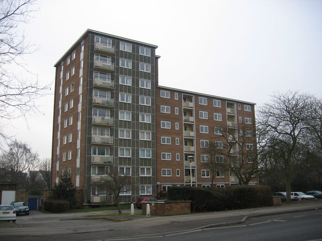
Image: © David Stowell Taken: 11 Feb 2006
This 1960s building in Rugby Road is one of Leamington Spa's very few high rise buildings.
Images are licensed for reuse under creativecommons.org/licenses/by-sa/2.0
Image Location
Latitude
52.294843
Longitude
-1.54248