Hallam Fields, Birstal, Leicester
Introduction
The photograph on this page of Hallam Fields, Birstal, Leicester by Kate Jewell as part of the Geograph project.
The Geograph project started in 2005 with the aim of publishing, organising and preserving representative images for every square kilometre of Great Britain, Ireland and the Isle of Man.

There are currently over 7.5m images from over 14,400 individuals and you can help contribute to the project by visiting https://www.geograph.org.uk
Hallam Fields, Birstal, Leicester
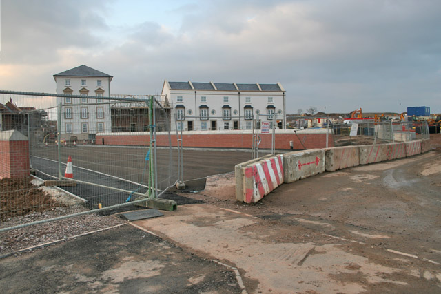
Image: © Kate Jewell Taken: 24 Feb 2006
Leicester creeps ever outwards! The first buildings to be completed on this major residential development. The property type will range from apartments, mews style cottages and detached houses. The site will include shops, a primary school, light industrial units and recreational areas.
Images are licensed for reuse under creativecommons.org/licenses/by-sa/2.0
Image Location
Latitude
52.689038
Longitude
-1.135961