Rae Burn, Shank Wood
Introduction
The photograph on this page of Rae Burn, Shank Wood by Andy Connor as part of the Geograph project.
The Geograph project started in 2005 with the aim of publishing, organising and preserving representative images for every square kilometre of Great Britain, Ireland and the Isle of Man.

There are currently over 7.5m images from over 14,400 individuals and you can help contribute to the project by visiting https://www.geograph.org.uk
Rae Burn, Shank Wood
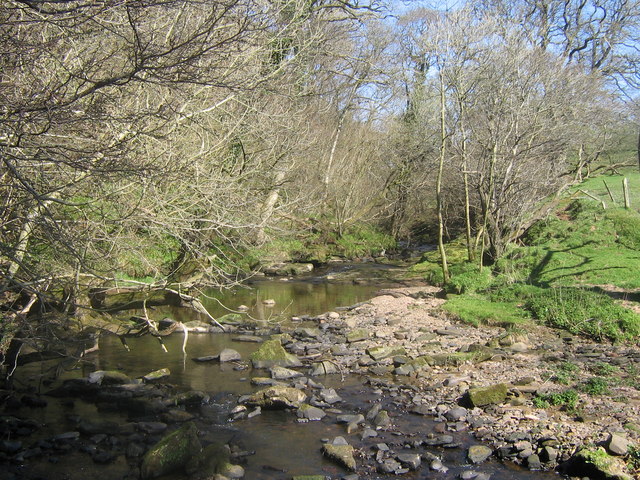
Image: © Andy Connor Taken: 12 Apr 2009
The mouth of the Rae Burn as it flows into the River Lyne. At Shank Wood (SSSI). A place you often see Dippers, Kingfishers and signs of Otters.
Images are licensed for reuse under creativecommons.org/licenses/by-sa/2.0
Image Location
Latitude
55.024261
Longitude
-2.837122