The Mayfly Public House, Hawkinge
Introduction
The photograph on this page of The Mayfly Public House, Hawkinge by David Anstiss as part of the Geograph project.
The Geograph project started in 2005 with the aim of publishing, organising and preserving representative images for every square kilometre of Great Britain, Ireland and the Isle of Man.

There are currently over 7.5m images from over 14,400 individuals and you can help contribute to the project by visiting https://www.geograph.org.uk
The Mayfly Public House, Hawkinge
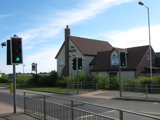
Image: © David Anstiss Taken: 25 Apr 2009
On roundabout junction of A260 Spitfire Way (in front) and Haven Drive (unseen to right).
Images are licensed for reuse under creativecommons.org/licenses/by-sa/2.0
Image Location
Latitude
51.112003
Longitude
1.161844