Rugby football ground, Hendy
Introduction
The photograph on this page of Rugby football ground, Hendy by Andrew Hill as part of the Geograph project.
The Geograph project started in 2005 with the aim of publishing, organising and preserving representative images for every square kilometre of Great Britain, Ireland and the Isle of Man.

There are currently over 7.5m images from over 14,400 individuals and you can help contribute to the project by visiting https://www.geograph.org.uk
Rugby football ground, Hendy
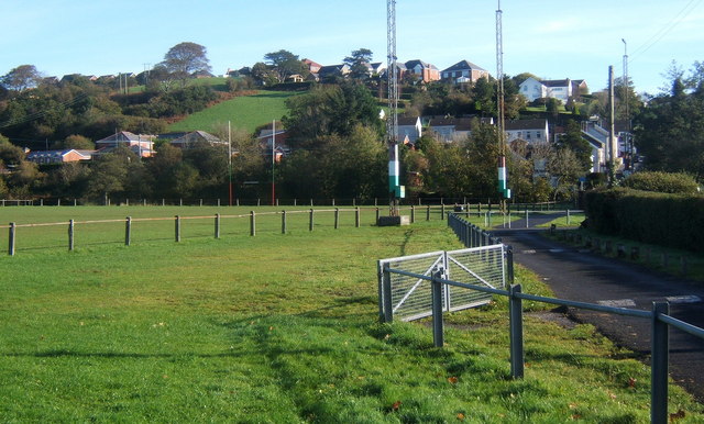
Image: © Andrew Hill Taken: 22 Oct 2008
Path by the ground which is on flat ground west of the river (Afon Gwili). Beyond the village is set on the hillside in the next square.
Images are licensed for reuse under creativecommons.org/licenses/by-sa/2.0
Image Location
Latitude
51.713987
Longitude
-4.057829