Track to Loch Leurbost
Introduction
The photograph on this page of Track to Loch Leurbost by Stephen Branley as part of the Geograph project.
The Geograph project started in 2005 with the aim of publishing, organising and preserving representative images for every square kilometre of Great Britain, Ireland and the Isle of Man.

There are currently over 7.5m images from over 14,400 individuals and you can help contribute to the project by visiting https://www.geograph.org.uk
Track to Loch Leurbost
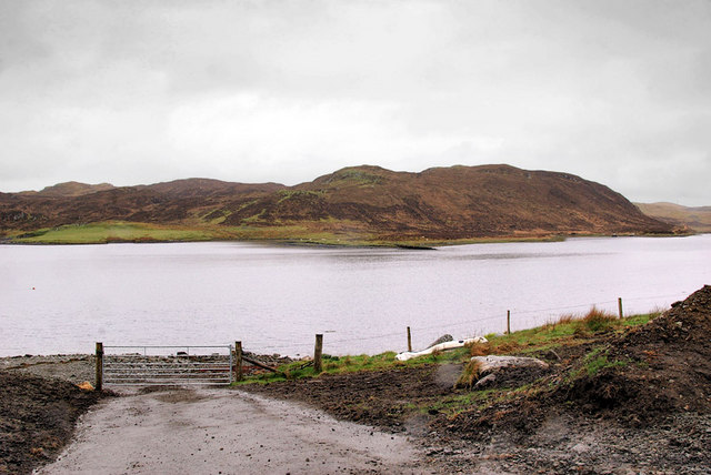
Image: © Stephen Branley Taken: 27 Apr 2009
Looking across Loch Erisort from the village of Leurbost. A new sewage works for the village has just been completed out of view to the left.
Images are licensed for reuse under creativecommons.org/licenses/by-sa/2.0
Image Location
Latitude
58.142022
Longitude
-6.491918