Southern Dock
Introduction
The photograph on this page of Southern Dock by Matthew Luckins as part of the Geograph project.
The Geograph project started in 2005 with the aim of publishing, organising and preserving representative images for every square kilometre of Great Britain, Ireland and the Isle of Man.

There are currently over 7.5m images from over 14,400 individuals and you can help contribute to the project by visiting https://www.geograph.org.uk
Southern Dock
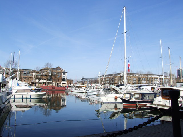
Image: © Matthew Luckins Taken: 15 Mar 2009
Looking across Southern Dock in a North Easterly direction. Previously the site of London's massive industrial docks pre-WW2, the area was extensively developed into a residential area in the 1980's, along with Canary Wharf on the opposite side of the Thames which is just visible in the background.
Images are licensed for reuse under creativecommons.org/licenses/by-sa/2.0
Image Location
Latitude
51.493566
Longitude
-0.035287