Stanground road
Introduction
The photograph on this page of Stanground road by Michael Trolove as part of the Geograph project.
The Geograph project started in 2005 with the aim of publishing, organising and preserving representative images for every square kilometre of Great Britain, Ireland and the Isle of Man.

There are currently over 7.5m images from over 14,400 individuals and you can help contribute to the project by visiting https://www.geograph.org.uk
Stanground road
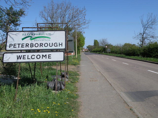
Image: © Michael Trolove Taken: 26 Apr 2009
As Peterborough expands so the temporary signs can be moved to suit. A bit like elasticated waistbands !
Images are licensed for reuse under creativecommons.org/licenses/by-sa/2.0
Image Location
Latitude
52.545981
Longitude
-0.228869