Dangerous bend on road to Seascale.
Introduction
The photograph on this page of Dangerous bend on road to Seascale. by John Holmes as part of the Geograph project.
The Geograph project started in 2005 with the aim of publishing, organising and preserving representative images for every square kilometre of Great Britain, Ireland and the Isle of Man.

There are currently over 7.5m images from over 14,400 individuals and you can help contribute to the project by visiting https://www.geograph.org.uk
Dangerous bend on road to Seascale.
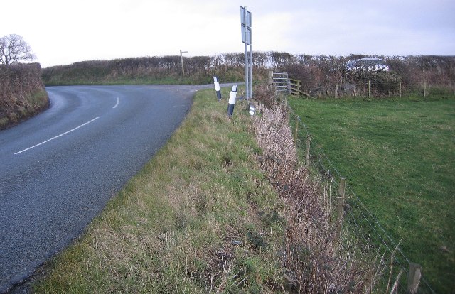
Image: © John Holmes Taken: 30 Jan 2006
many vehicles have come to grief here because the bend is after a long straight, the road dips around the bend and the camber of the road remains throughout the bend. The road level hedge fence and the drop off into the field do not help either.
Images are licensed for reuse under creativecommons.org/licenses/by-sa/2.0
Image Location
Latitude
54.409201
Longitude
-3.452866