Northumbrian landscape
Introduction
The photograph on this page of Northumbrian landscape by Oliver Dixon as part of the Geograph project.
The Geograph project started in 2005 with the aim of publishing, organising and preserving representative images for every square kilometre of Great Britain, Ireland and the Isle of Man.

There are currently over 7.5m images from over 14,400 individuals and you can help contribute to the project by visiting https://www.geograph.org.uk
Northumbrian landscape
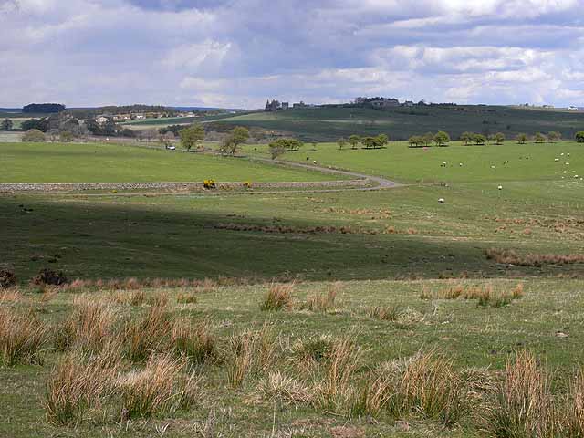
Image: © Oliver Dixon Taken: 26 Apr 2009
The winding road is followed for a short way by the St Oswald's Way. The houses in the distance are at Knowesgate Image
Images are licensed for reuse under creativecommons.org/licenses/by-sa/2.0
Image Location
Latitude
55.147284
Longitude
-2.014405