Track to Kentford Heath
Introduction
The photograph on this page of Track to Kentford Heath by Bob Jones as part of the Geograph project.
The Geograph project started in 2005 with the aim of publishing, organising and preserving representative images for every square kilometre of Great Britain, Ireland and the Isle of Man.

There are currently over 7.5m images from over 14,400 individuals and you can help contribute to the project by visiting https://www.geograph.org.uk
Track to Kentford Heath
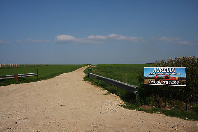
Image: © Bob Jones Taken: 20 Apr 2009
This track leads eastwards from Herringswell Road. It leads to Aurelia Ltd, whose plant operator training site is situated over the hill ahead.
Images are licensed for reuse under creativecommons.org/licenses/by-sa/2.0
Image Location
Latitude
52.28158
Longitude
0.504459