Parsonage Farm, Berners Roding
Introduction
The photograph on this page of Parsonage Farm, Berners Roding by Glyn Baker as part of the Geograph project.
The Geograph project started in 2005 with the aim of publishing, organising and preserving representative images for every square kilometre of Great Britain, Ireland and the Isle of Man.

There are currently over 7.5m images from over 14,400 individuals and you can help contribute to the project by visiting https://www.geograph.org.uk
Parsonage Farm, Berners Roding
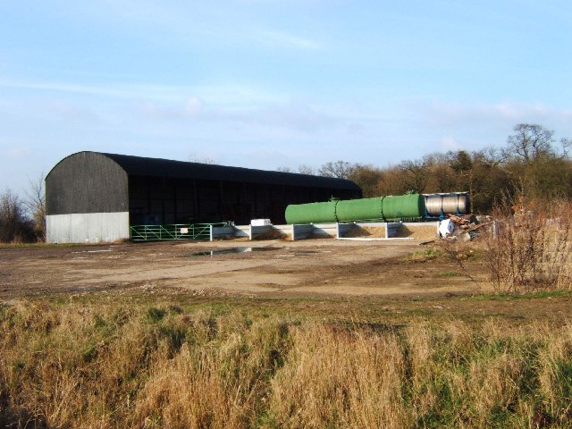
Image: © Glyn Baker Taken: 24 Feb 2006
This active farmyard in Berners Roding gives no indication of its name however the 1940’s map implies this might be part of Parsonage Farm. The trees in the background are in Berners Wood. (2020 Update the newer editions of the 1:25,000 map have caught up with the 1" to mile 1940's map and agree this is part of Parsonage Farm).
Images are licensed for reuse under creativecommons.org/licenses/by-sa/2.0
Image Location
Latitude
51.763823
Longitude
0.327285