Ashbourne Rise
Introduction
The photograph on this page of Ashbourne Rise by Ian Capper as part of the Geograph project.
The Geograph project started in 2005 with the aim of publishing, organising and preserving representative images for every square kilometre of Great Britain, Ireland and the Isle of Man.

There are currently over 7.5m images from over 14,400 individuals and you can help contribute to the project by visiting https://www.geograph.org.uk
Ashbourne Rise
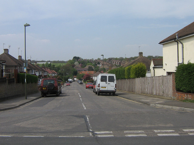
Image: © Ian Capper Taken: 21 Apr 2009
A road whose development started just before the Second World War and completed after it. It runs down to Tubbenden Lane.
Images are licensed for reuse under creativecommons.org/licenses/by-sa/2.0
Image Location
Latitude
51.364824
Longitude
0.082973