St Catherine's Wickford
Introduction
The photograph on this page of St Catherine's Wickford by Glyn Baker as part of the Geograph project.
The Geograph project started in 2005 with the aim of publishing, organising and preserving representative images for every square kilometre of Great Britain, Ireland and the Isle of Man.

There are currently over 7.5m images from over 14,400 individuals and you can help contribute to the project by visiting https://www.geograph.org.uk
St Catherine's Wickford
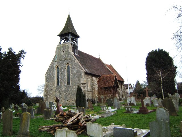
Image: © Glyn Baker Taken: 24 Feb 2006
This is St Catherine’s Church Wickford. The church stands on raised ground to the side of the A129 Southend Rd.
Images are licensed for reuse under creativecommons.org/licenses/by-sa/2.0
Image Location
Latitude
51.612972
Longitude
0.533343