Callander and Oban Railway, Achnacloich
Introduction
The photograph on this page of Callander and Oban Railway, Achnacloich by Richard Webb as part of the Geograph project.
The Geograph project started in 2005 with the aim of publishing, organising and preserving representative images for every square kilometre of Great Britain, Ireland and the Isle of Man.

There are currently over 7.5m images from over 14,400 individuals and you can help contribute to the project by visiting https://www.geograph.org.uk
Callander and Oban Railway, Achnacloich
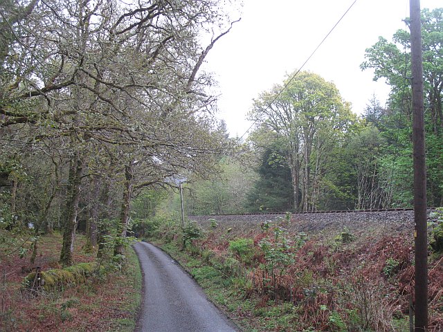
Image: © Richard Webb Taken: 26 Apr 2009
My late 1980s map shows a station at Achnacloich but it closed in 1965. The road runs to Loch Etive and the site of the station.
Images are licensed for reuse under creativecommons.org/licenses/by-sa/2.0
Image Location
Latitude
56.451978
Longitude
-5.316088