Near Davey's Cross
Introduction
The photograph on this page of Near Davey's Cross by Derek Harper as part of the Geograph project.
The Geograph project started in 2005 with the aim of publishing, organising and preserving representative images for every square kilometre of Great Britain, Ireland and the Isle of Man.

There are currently over 7.5m images from over 14,400 individuals and you can help contribute to the project by visiting https://www.geograph.org.uk
Near Davey's Cross
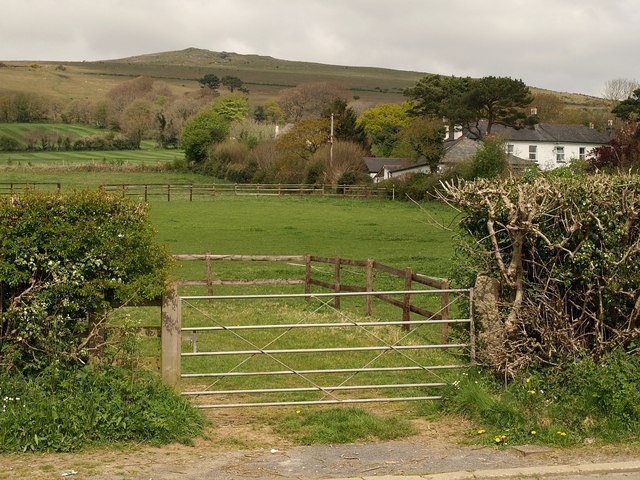
Image: © Derek Harper Taken: 22 Apr 2009
Looking across a field by the B3213 (foreground). The houses are off Davids Lane, which runs from Davey's Cross up to the moor. The hill is Image
Images are licensed for reuse under creativecommons.org/licenses/by-sa/2.0
Image Location


Leaflet Map data © OpenStreetMap
Latitude
50.391088
Longitude
-3.89771