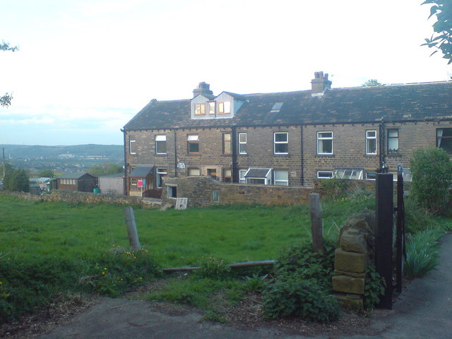
Laurel Terrace
Introduction
The photograph on this page of Laurel Terrace by Leo Holt as part of the Geograph project.
The Geograph project started in 2005 with the aim of publishing, organising and preserving representative images for every square kilometre of Great Britain, Ireland and the Isle of Man.
There are currently over 7.5m images from over 14,400 individuals and you can help contribute to the project by visiting https://www.geograph.org.uk

Image: © Leo Holt Taken: 26 Apr 2009
As seen from the driveway towards Prescott Place in the car park. The terrace is accessible from the main road next to what was the Post Office. It was built c.1880, possibly for the mill workers at Town Ing Mills at the other side of the main road. The areas on the left, from top to bottom on the image, are Southowram on the horizon, Siddal which can be identified by the rows of white housing and Greetland below.

