The Pest House, Great Chart
Introduction
The photograph on this page of The Pest House, Great Chart by Nick Smith as part of the Geograph project.
The Geograph project started in 2005 with the aim of publishing, organising and preserving representative images for every square kilometre of Great Britain, Ireland and the Isle of Man.

There are currently over 7.5m images from over 14,400 individuals and you can help contribute to the project by visiting https://www.geograph.org.uk
The Pest House, Great Chart
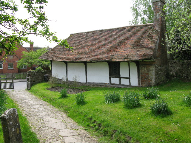
Image: © Nick Smith Taken: 23 Apr 2009
The Pest House is 15th century, but might have been a priest house.
Images are licensed for reuse under creativecommons.org/licenses/by-sa/2.0
Image Location
Latitude
51.142049
Longitude
0.82831