Wireless Mast, Woodcock Hill, Sandridge
Introduction
The photograph on this page of Wireless Mast, Woodcock Hill, Sandridge by Chris Reynolds as part of the Geograph project.
The Geograph project started in 2005 with the aim of publishing, organising and preserving representative images for every square kilometre of Great Britain, Ireland and the Isle of Man.

There are currently over 7.5m images from over 14,400 individuals and you can help contribute to the project by visiting https://www.geograph.org.uk
Wireless Mast, Woodcock Hill, Sandridge
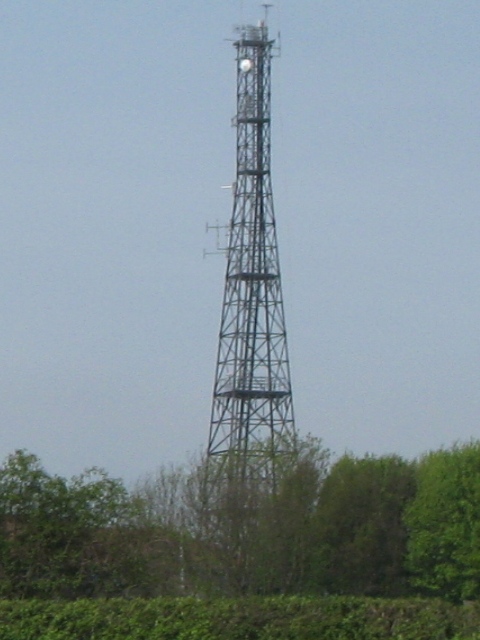
Image: © Chris Reynolds Taken: 23 Apr 2009
Intriguing – This old-fashioned looking radio mast is stuck on the top of a minor hill in the Hertfordshire countryside and looks most incongruous. The map marks it as a wireless station and there are some mysterious road signs to “HOSDB”. I must find our more ... Image
Images are licensed for reuse under creativecommons.org/licenses/by-sa/2.0
Image Location
Latitude
51.778594
Longitude
-0.28604