Haywood Rise
Introduction
The photograph on this page of Haywood Rise by Ian Capper as part of the Geograph project.
The Geograph project started in 2005 with the aim of publishing, organising and preserving representative images for every square kilometre of Great Britain, Ireland and the Isle of Man.

There are currently over 7.5m images from over 14,400 individuals and you can help contribute to the project by visiting https://www.geograph.org.uk
Haywood Rise
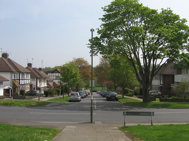
Image: © Ian Capper Taken: 21 Apr 2009
Part of the central axis of symmetry of what is known as the Davis Estate, after its builders.
Images are licensed for reuse under creativecommons.org/licenses/by-sa/2.0
Image Location
Latitude
51.360827
Longitude
0.086728