Old allotment gardens off Doctor's Lane
Introduction
The photograph on this page of Old allotment gardens off Doctor's Lane by Kate Jewell as part of the Geograph project.
The Geograph project started in 2005 with the aim of publishing, organising and preserving representative images for every square kilometre of Great Britain, Ireland and the Isle of Man.

There are currently over 7.5m images from over 14,400 individuals and you can help contribute to the project by visiting https://www.geograph.org.uk
Old allotment gardens off Doctor's Lane
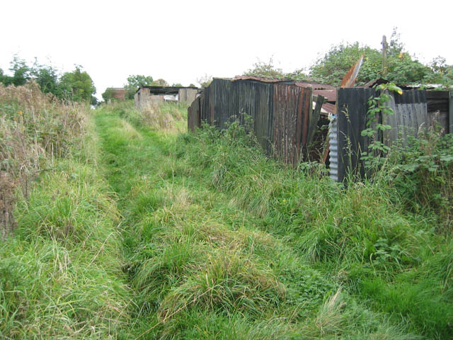
Image: © Kate Jewell Taken: 12 Oct 2005
There was a large area of mainly derelict allotments to the west of the cemetery Image In 2005 I thought the site had potential for residential development or as an extension to the Country Park in Image The residential option won, see Image
Images are licensed for reuse under creativecommons.org/licenses/by-sa/2.0
Image Location


Leaflet Map data © OpenStreetMap
Latitude
52.771623
Longitude
-0.874778