Sunset behind Pitskelly
Introduction
The photograph on this page of Sunset behind Pitskelly by Gwen and James Anderson as part of the Geograph project.
The Geograph project started in 2005 with the aim of publishing, organising and preserving representative images for every square kilometre of Great Britain, Ireland and the Isle of Man.

There are currently over 7.5m images from over 14,400 individuals and you can help contribute to the project by visiting https://www.geograph.org.uk
Sunset behind Pitskelly
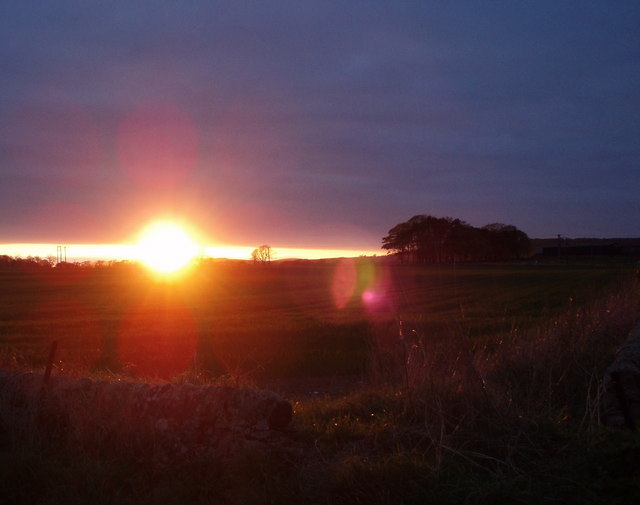
Image: © Gwen and James Anderson Taken: 18 Apr 2009
The clump of trees centre right is the southern extent of the shelter belt shown on the OS map. The 'Pit' element in the name Pitskelly according to philologists relates to a parcel of land or farm and is indicative of a Pictish presence in the area.
Images are licensed for reuse under creativecommons.org/licenses/by-sa/2.0
Image Location
Latitude
56.503865
Longitude
-2.741103