Leafy Hampstead pathway
Introduction
The photograph on this page of Leafy Hampstead pathway by Natasha Ceridwen de Chroustchoff as part of the Geograph project.
The Geograph project started in 2005 with the aim of publishing, organising and preserving representative images for every square kilometre of Great Britain, Ireland and the Isle of Man.

There are currently over 7.5m images from over 14,400 individuals and you can help contribute to the project by visiting https://www.geograph.org.uk
Leafy Hampstead pathway
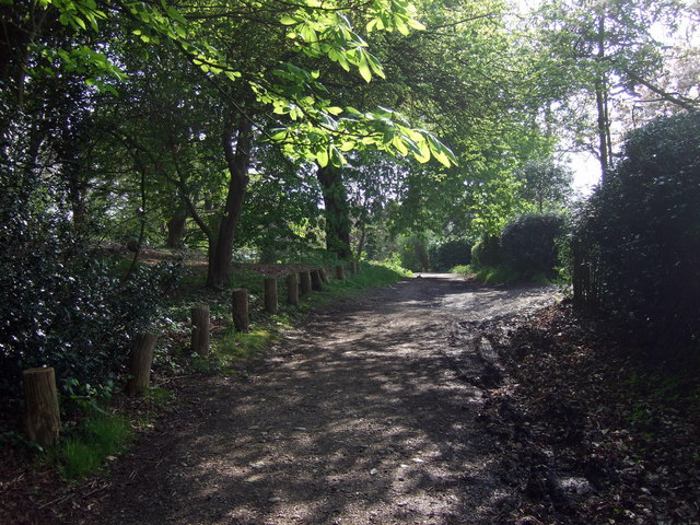
Image: © Natasha Ceridwen de Chroustchoff Taken: 19 Apr 2009
Old track passing Wyldes Farm in North End, coming from the direction of Hendon.
Images are licensed for reuse under creativecommons.org/licenses/by-sa/2.0
Image Location
Latitude
51.568928
Longitude
-0.180521