Nelson Way Laceby Acres
Introduction
The photograph on this page of Nelson Way Laceby Acres by Joy Reynolds as part of the Geograph project.
The Geograph project started in 2005 with the aim of publishing, organising and preserving representative images for every square kilometre of Great Britain, Ireland and the Isle of Man.

There are currently over 7.5m images from over 14,400 individuals and you can help contribute to the project by visiting https://www.geograph.org.uk
Nelson Way Laceby Acres
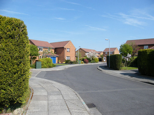
Image: © Joy Reynolds Taken: 24 Apr 2009
This was taken looking north-east,into the Nelson Way cul-de-sac.Deene Close is the turning just seen to the left.
Images are licensed for reuse under creativecommons.org/licenses/by-sa/2.0
Image Location
Latitude
53.552201
Longitude
-0.1361