Wyldes Farm
Introduction
The photograph on this page of Wyldes Farm by Natasha Ceridwen de Chroustchoff as part of the Geograph project.
The Geograph project started in 2005 with the aim of publishing, organising and preserving representative images for every square kilometre of Great Britain, Ireland and the Isle of Man.

There are currently over 7.5m images from over 14,400 individuals and you can help contribute to the project by visiting https://www.geograph.org.uk
Wyldes Farm
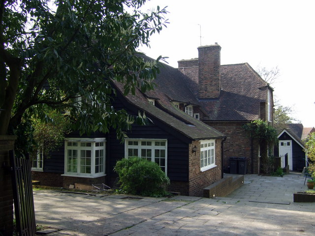
Image: © Natasha Ceridwen de Chroustchoff Taken: 19 Apr 2009
This part of the farm is more recent than the Old Wyldes section to the left and was substantially restored by the architect Raymond Unwin from the barn that was added on to the original farmhouse. It is of brick with a massive dormer roof, looking older than it is.
Images are licensed for reuse under creativecommons.org/licenses/by-sa/2.0
Image Location
Latitude
51.56866
Longitude
-0.180676