View along Allen Field
Introduction
The photograph on this page of View along Allen Field by Nick Smith as part of the Geograph project.
The Geograph project started in 2005 with the aim of publishing, organising and preserving representative images for every square kilometre of Great Britain, Ireland and the Isle of Man.

There are currently over 7.5m images from over 14,400 individuals and you can help contribute to the project by visiting https://www.geograph.org.uk
View along Allen Field
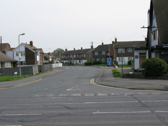
Image: © Nick Smith Taken: 23 Apr 2009
The Crusader pub is on the right hand corner of the junction with Brookfield Road.
Images are licensed for reuse under creativecommons.org/licenses/by-sa/2.0
Image Location
Latitude
51.139337
Longitude
0.854737