Istead Rise Primary School
Introduction
The photograph on this page of Istead Rise Primary School by David Harrison as part of the Geograph project.
The Geograph project started in 2005 with the aim of publishing, organising and preserving representative images for every square kilometre of Great Britain, Ireland and the Isle of Man.

There are currently over 7.5m images from over 14,400 individuals and you can help contribute to the project by visiting https://www.geograph.org.uk
Istead Rise Primary School
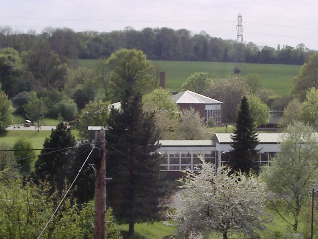
Image: © David Harrison Taken: 1 May 2005
The school is set in a rural area of about 1400 houses built in the 1960’s. Most properties are detached and semi-detached. (picture taken from the roof of my house in Lyndhurst Way)
Images are licensed for reuse under creativecommons.org/licenses/by-sa/2.0
Image Location
Latitude
51.400998
Longitude
0.347637