West Compton
Introduction
The photograph on this page of West Compton by Nigel Mykura as part of the Geograph project.
The Geograph project started in 2005 with the aim of publishing, organising and preserving representative images for every square kilometre of Great Britain, Ireland and the Isle of Man.

There are currently over 7.5m images from over 14,400 individuals and you can help contribute to the project by visiting https://www.geograph.org.uk
West Compton
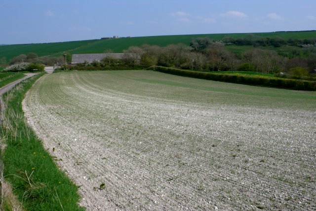
Image: © Nigel Mykura Taken: 19 Apr 2009
View north east towards the west end of the village from the road which can be seen on the right running up to Eggardon Hill.
Images are licensed for reuse under creativecommons.org/licenses/by-sa/2.0
Image Location


Leaflet Map data © OpenStreetMap
Latitude
50.748354
Longitude
-2.621491