North side of St Mary's Bay
Introduction
The photograph on this page of North side of St Mary's Bay by Derek Harper as part of the Geograph project.
The Geograph project started in 2005 with the aim of publishing, organising and preserving representative images for every square kilometre of Great Britain, Ireland and the Isle of Man.

There are currently over 7.5m images from over 14,400 individuals and you can help contribute to the project by visiting https://www.geograph.org.uk
North side of St Mary's Bay
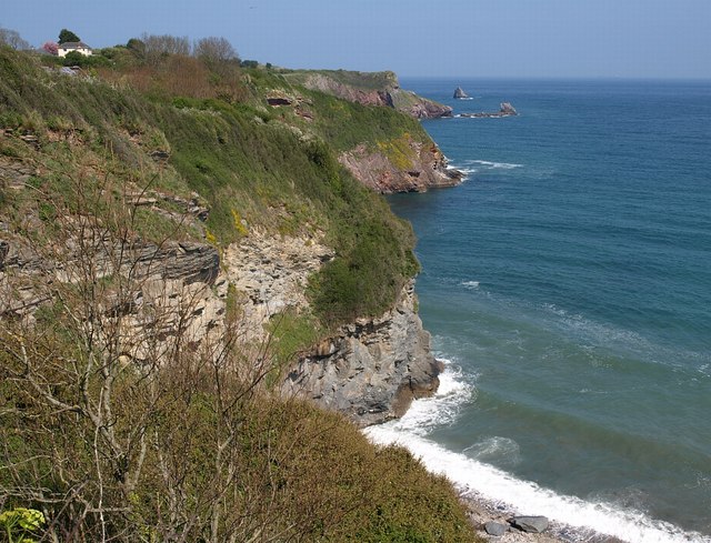
Image: © Derek Harper Taken: 19 Apr 2009
A view along the cliffs shown in Image To the right of Durl Head is Durl Rock, while Cod Rock is further out to sea beyond; both are in Image
Images are licensed for reuse under creativecommons.org/licenses/by-sa/2.0
Image Location
Latitude
50.388756
Longitude
-3.503715