Location Of Wallace's Stone
Introduction
The photograph on this page of Location Of Wallace's Stone by Mary and Angus Hogg as part of the Geograph project.
The Geograph project started in 2005 with the aim of publishing, organising and preserving representative images for every square kilometre of Great Britain, Ireland and the Isle of Man.

There are currently over 7.5m images from over 14,400 individuals and you can help contribute to the project by visiting https://www.geograph.org.uk
Location Of Wallace's Stone
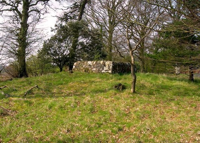
Image: © Mary and Angus Hogg Taken: 16 Apr 2009
Located by the track into Blairston Mains Farm, this walled enclosure houses Wallace's Stone. According to local legend, the followers of the great Scottish freedom fighter, William Wallace, marked the outline of his sword on this stone. (Source: "Ayr Stories", by Dane Love)
Images are licensed for reuse under creativecommons.org/licenses/by-sa/2.0
Image Location
Latitude
55.414235
Longitude
-4.636075