Pizwell
Introduction
The photograph on this page of Pizwell by Derek Harper as part of the Geograph project.
The Geograph project started in 2005 with the aim of publishing, organising and preserving representative images for every square kilometre of Great Britain, Ireland and the Isle of Man.

There are currently over 7.5m images from over 14,400 individuals and you can help contribute to the project by visiting https://www.geograph.org.uk
Pizwell
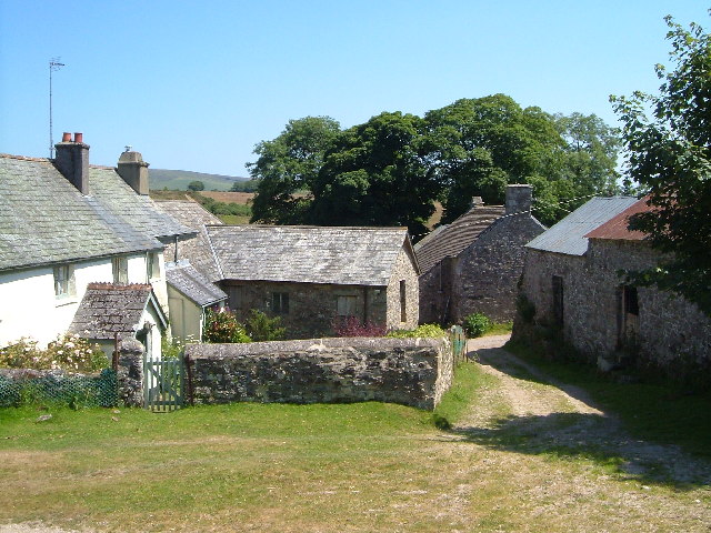
Image: © Derek Harper Taken: 17 Jul 2005
A remarkable collection of four longhouses plus shippons, the hamlet of Pizwell lies close to the Walla Brook
Images are licensed for reuse under creativecommons.org/licenses/by-sa/2.0
Image Location
Latitude
50.590092
Longitude
-3.883097